Description
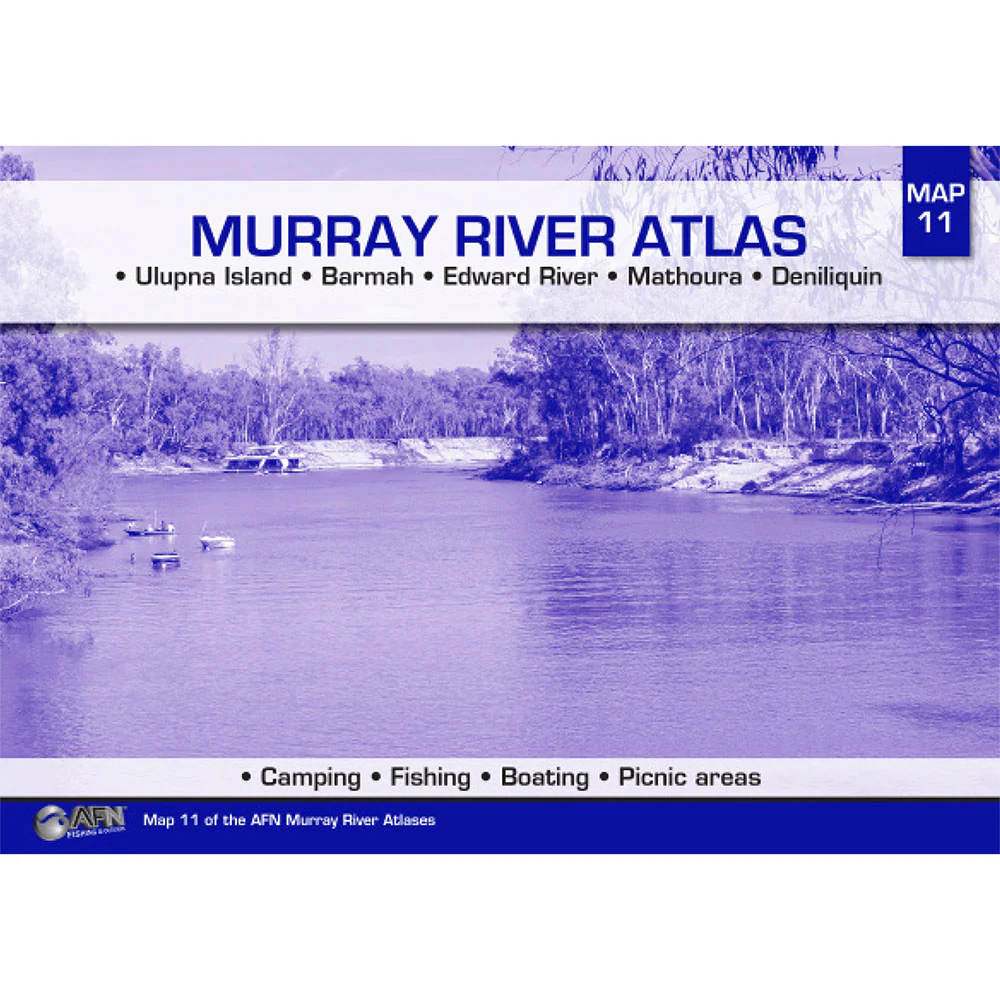
Now in it's 8th edition, River Murray Charts remains to be one of the best ways to navigate the Murray River's fishing and boating spots.
The book covers the river from Renmark to Yarrawonga, as well as 60 kilometers of the River Darling from Wentworth.
For travellers on the river Murray this book is an essential tool, showing reefs, snags, sand bars, groynes, fuel points, locks, kilometre signs and camping areas.
The Charts are compiled by Maureen and Barry Wright who have travelled this 1422km stretch of river eight times over 40 years.
The River Murray Charts book has 47 pages of navigation charts as well as history, boating and fishing regulations and instructions on how to navigate the 8 locks and 11 bridges in this section.
Product Specifications
- River Murray Charts - Renmark to Yarrawonga was revised during a seven week trip from Yarrawonga to Renmark in March and April 2013.
- The new book contains up to date information and navigation charts. Other changes to this edition include colour pages, historical photographs and aboriginal legends.
- It contains all you need to know for an extended river trip, or just for a good read.
| Length : 29.8 cm | Width : 21 cm |
| Height : 0.1 cm |

Easy Returns
Free 365 Day Warranty

Shop & Pay in your currency
Now shipping to 40+ countries

100,000+ Products
Amazing Brands. All Gift Occasions.
Related Products
